
Tanzania is taking a big step forward in modernizing its infrastructure with a new national mapping initiative.
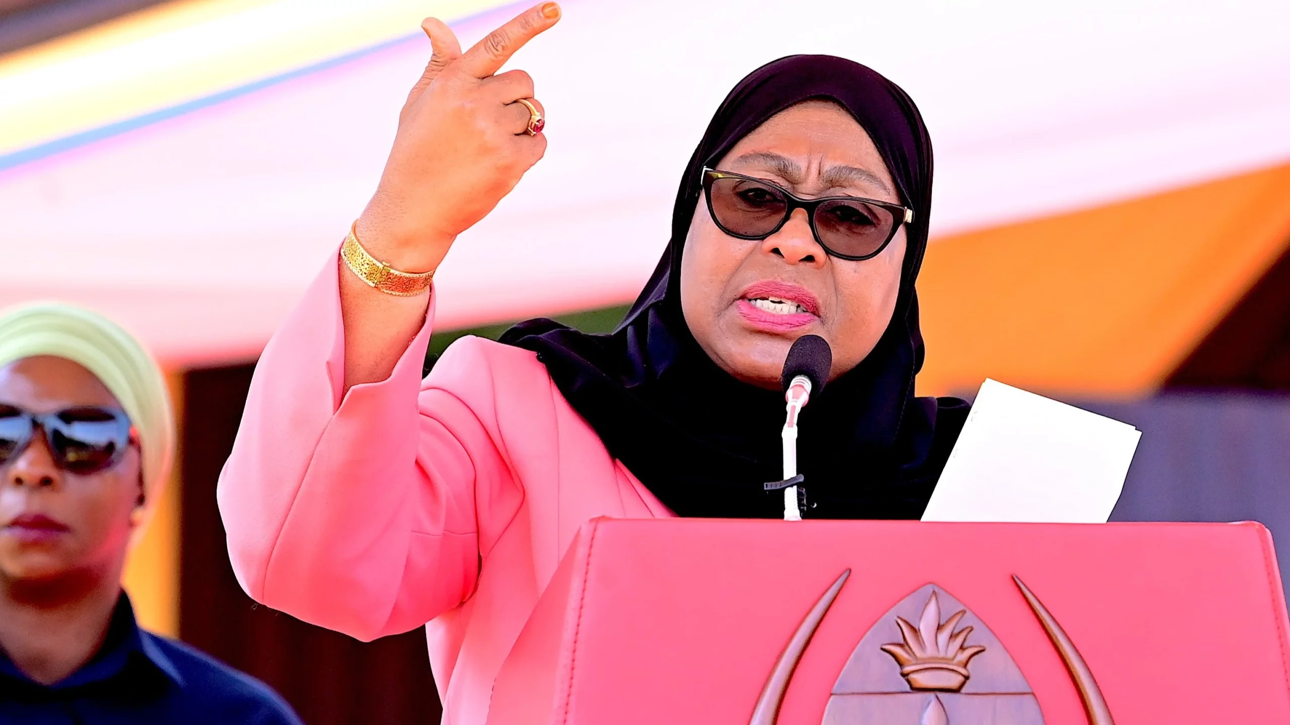
President Samia Suluhu Hassan recently announced that the government is launching an ambitious project to update the country’s maps using advanced technology, including drones and aircraft. This is the first time since 1978 that the country has undertaken such a large-scale mapping effort.
The primary goal of the project is to create an up-to-date, accurate representation of Tanzania’s land and resources, which will help in areas like urban planning, disaster management, and environmental protection. With technology advancing rapidly, using drones allows for detailed data collection that wasn’t possible before, especially in hard-to-reach areas.
In her announcement, President Hassan emphasized the importance of this project, noting how drones can capture precise information much faster and cheaper than traditional methods. She explained that this innovation would allow Tanzania to not only refresh old maps but also improve how the country plans for the future.
“By using drones, we’re able to access remote areas and get a clear picture of our land,” she said. “This will help us make better decisions about how we develop our cities, manage our resources, and protect our environment.”
The updated maps will serve multiple purposes: they will support infrastructure projects like roads and utilities, help identify areas that might be at risk of natural disasters, and guide policymakers in managing the country’s resources. This project is seen as crucial for making informed decisions that benefit Tanzanians and ensure that future development is sustainable.
To make this ambitious project a reality, the Tanzanian government is working with global experts in geospatial technology to ensure that the mapping is done to the highest standards.
Also Read; Russia Strikes Ukraine’s Power Plant
Amid Winter
Training programs are also being set up to teach Tanzanians the skills needed to work with this new technology, ensuring long-term benefits for the country.
This initiative is part of President Hassan’s broader vision to use technology to drive Tanzania’s growth and improve public services. Since taking office in 2021, she has focused on modernizing the country’s infrastructure and bringing cutting-edge solutions to areas like healthcare, education, and transportation.
Citizens can look forward to better disaster preparedness, improved infrastructure planning, and a more robust economy, all driven by accurate, up-to-date geographic data. The move to use drones and other advanced technologies marks a new chapter for Tanzania, one where innovation plays a central role in shaping the nation’s future.